


SOLUTION
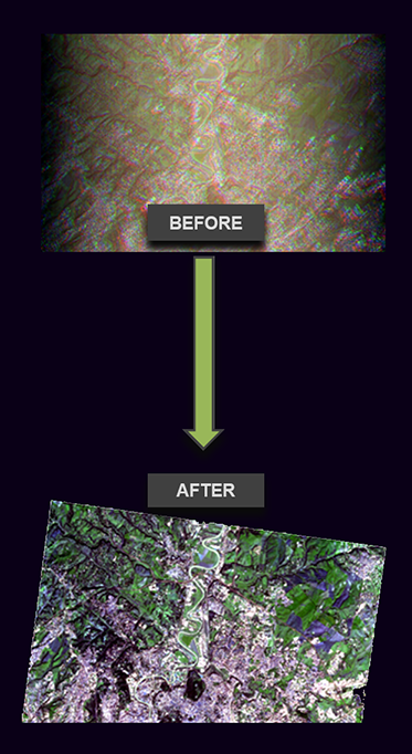
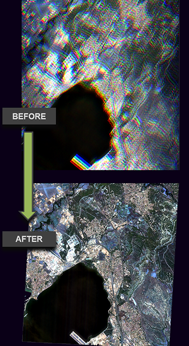
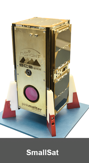
FarEarth for SmallSats is our image pre-processing and data management software for NewSpace. Our cloud-based system is the easiest way to calibrate new optical sensors and rapidly roll out processing for your earth observation constellations. It automatically processes raw downlinked data to map-ready imagery for downstream applications. All at scale
For Whom
Small satellite operators
Features
- Sensor modelling, calibration, and validation
- Scheduling and downlink systems
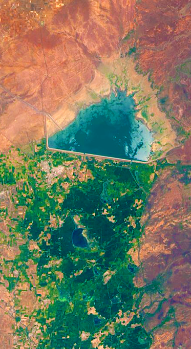
- Automated image processing
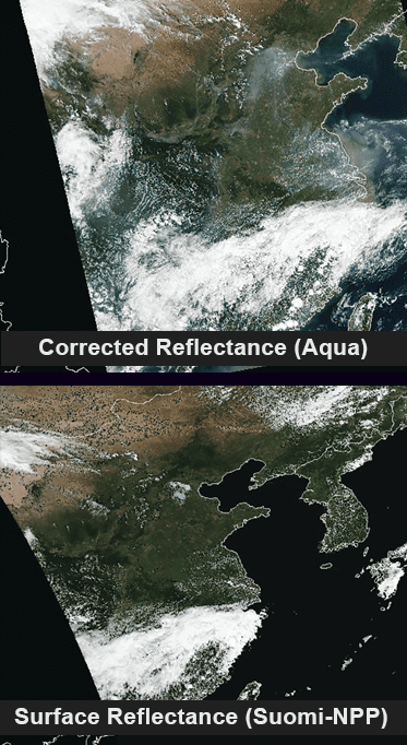
- Radiometric, geometric and terrain correction of raw downlinked data
- Flexible data archiving, cataloguing and dissemination options
SOLUTION
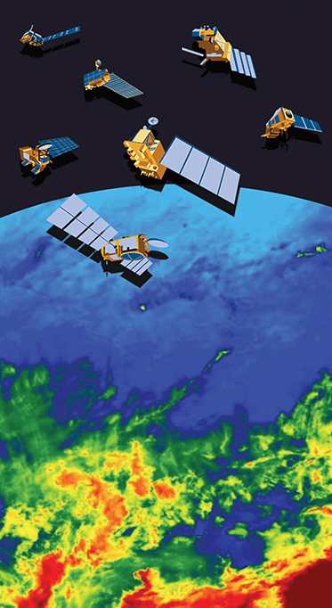
Ground Segments for traditional Earth observation missions, such as Landsat, MODIS, VIIRS, NOAA, Metop and Fengyun
For Whom
Direct receiving stations
Features
- Multi-mission scheduling and deconfliction
- Antenna and demodulator control
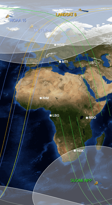
- Observer with real-time moving window display
- Automated image processing workflows
- Industry standard product generation
- Flexible data archiving, cataloguing and dissemination options
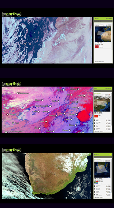
SOLUTION
A live view of selected satellite imagery as it is downlinked by ground-stations around the world
For Whom
Free for the enthusiast
Features
- Data is sent down to the station, decoded, processed and streamed to FarEarth Observer within seconds
- Real-time data
- Just for fun!


SOLUTION
FarEarthfor SmallSatsis our image pre-processing and data management software for NewSpace. Our cloud-based system is the easiest way to calibrate new optical sensors and rapidly roll out processing for your earth observation constellations. It automatically processes raw downlinked data to map-ready imagery for downstream applications. All at scale
Ground Segments for traditional Earth observation missions, such as Landsat, MODIS, VIIRS, NOAA, Metop and Fengyun
A live view of selected satellite imagery as it is downlinked by ground-stations around the world
FOR WHOM
Small satellite operators
Direct receiving stations
Free for the enthusiast
Features
- Sensor modelling, calibration, and validation
- Scheduling and downlink systems
- Automated image processing
- Radiometric, geometric and terrain correction of raw downlinked data
- Flexible data archiving, cataloguing and dissemination options
- Multi-mission scheduling and deconfliction
- Antenna and demodulator control
- Observer with real-time moving window display
- Automated image processing workflows
- Industry standard product generation
- Flexible data archiving, cataloguing and dissemination options
- Data is sent down to the station, decoded, processed and streamed to FarEarth Observer within seconds
- Real-time data
- Just for fun!


